
Transport links
Bedford's usefulness as a base rests almost entirely on one fact: it sits on a mainline railway that runs straight through central London and out the other side to the south coast airports. Everything else follows from that.
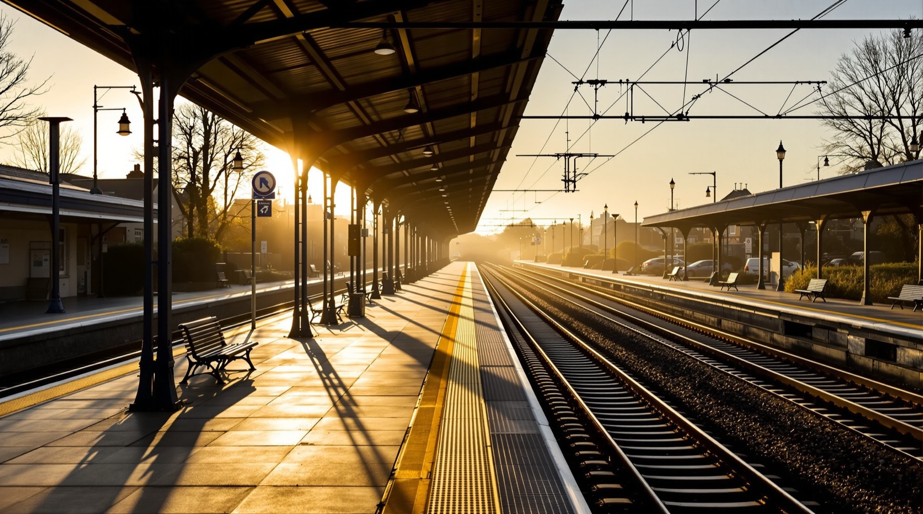
Rail
Bedford is the northern terminus of a frequent commuter and regional service running south through Luton and Luton Airport Parkway, into central London, and onwards through the capital to Gatwick Airport and Brighton. Journey time to central London is around forty minutes on the faster services, with departures every fifteen minutes or so for much of the day.
The practical consequences for a visitor are worth spelling out:
- London is a day trip. Forty minutes each way makes a museum day, a theatre evening or a business meeting entirely straightforward from a countryside base — usually at a fraction of London accommodation costs.
- Two airports are on the same line. Luton Airport Parkway is a short hop south; Gatwick is reachable without changing trains, by staying on through London.
- No crossing London. Because the line runs through rather than terminating, connections south do not require a transfer between London terminals with luggage.
Bedford also sits on an east–west line towards the midlands, giving connections towards Derby, Leicester and Nottingham for onward travel to most of Britain. Live times, fares and disruption information come from National Rail Enquiries. Operators, timetables and ticketing arrangements change periodically, so check on the day rather than relying on any static guide, including this one.
Road
The M1 lies roughly twenty minutes west, reached at junction 14 from the north and junction 13 from the south, giving direct access to London and to the national motorway network. The A421 dual carriageway runs around the southern edge of Bedford and links east towards the A1 and Cambridge; the A6 runs north from the town towards Rushden and Kettering, passing Clapham. Detailed road approaches are set out on the orientation page.
For the villages and the surrounding countryside, a car remains the practical answer. For the town centre it is often the worse option: parking is chargeable and constrained, and the walk in along the river from the edge is pleasant.
Coach
Long-distance coaches serve Bedford and connect it to a national network. Coach travel is slower than rail and materially cheaper, and it reaches a number of destinations for which the rail journey would involve two or three changes. It is worth checking for cross-country journeys in particular.
Air
Three London airports are within reasonable reach, and they are not equivalent.
- London Luton — the closest by a distance, around twenty-five minutes by road and a short train journey to the airport's station. This is the default for European short-haul.
- London Gatwick — roughly two hours by train, but reachable on a single through service without changing in London, which makes it far less painful with luggage than the raw journey time suggests.
- London Heathrow — about an hour and a half by road. There is no direct rail route; the practical options are driving, a coach service, or rail into London and across.
Stansted is also feasible eastwards by road for anyone with a car.
Local buses
Bus services within Bedford and to the larger surrounding villages are reasonable during the working day and thin in the evenings and on Sundays. Clapham, being close to the town on a main road, is better served than most villages; the smaller settlements up the valley are not well served at all. Anyone planning to rely on buses for rural travel should check timetables carefully before committing, and should assume that a return journey after early evening may not exist.
Cycling
The valley is flat, the lanes are quiet, and the distances between villages are short, which makes this good cycling country. The ridge west of Clapham is the one genuine climb in the immediate area. Route planning and general travel guidance are covered on GOV.UK. On the narrow lanes above the village, be aware that sight lines are short and horses are common.
In short
Arrive by train if your visit is about the town or about London; arrive by car if it is about the countryside, the villages and the airfield. Whether a car is necessary for a given trip is discussed further on the visitor questions page.