
Finding Clapham and the country north of Bedford
Orientation only. This is an independent area guide. It gives no address and no directions to any private property, and nothing on this site can be visited or booked. What follows is general road orientation for the district.
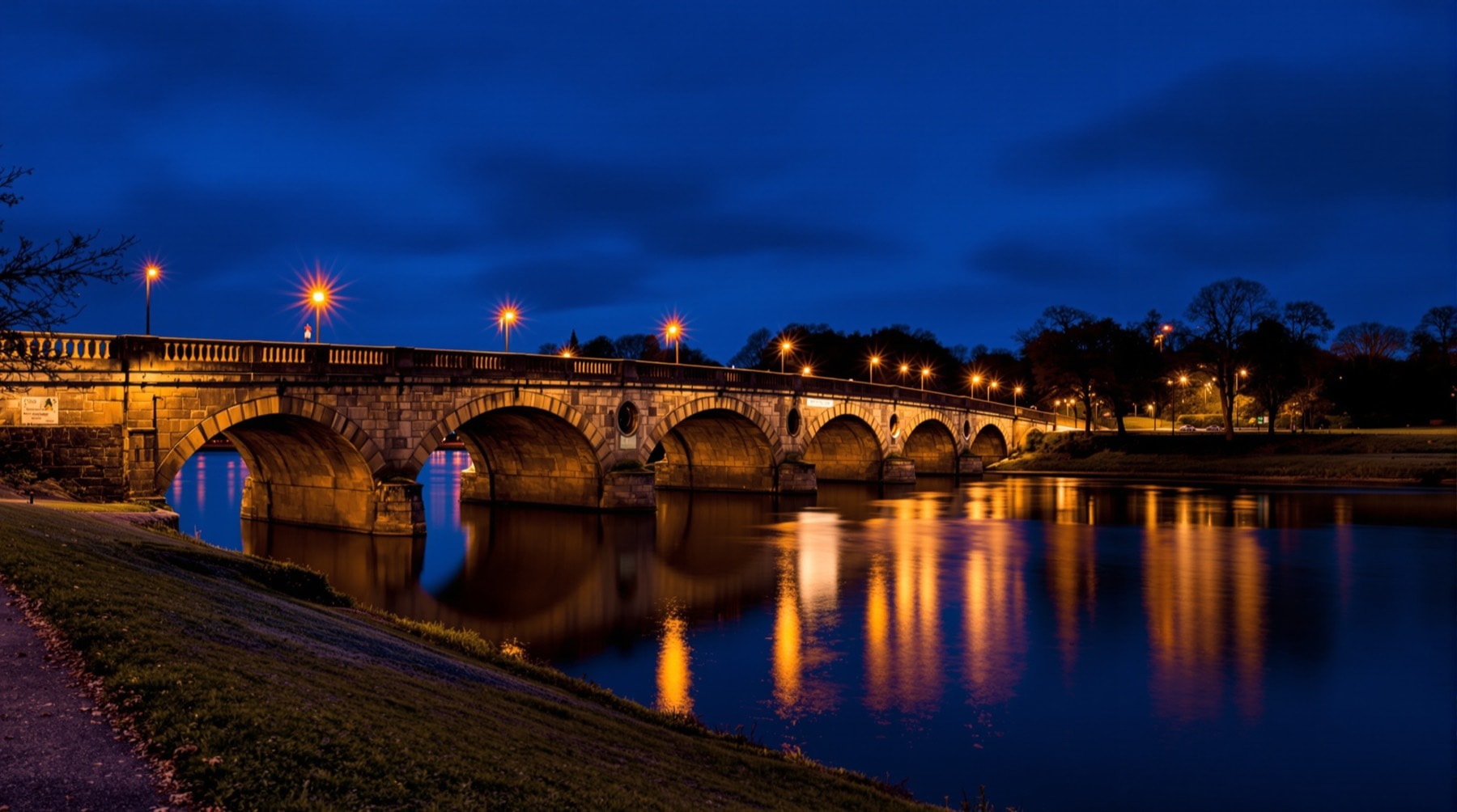
The shape of the place
North Bedfordshire is easier to navigate once you understand its geometry. Bedford sits on the Great Ouse, which runs roughly west to east through the middle of it. The A6 leaves the town northwards towards Rushden and Kettering. Clapham is the first village on that road, about two miles out, sitting in the valley bottom with a bypass running to its east and the ground rising steeply to its west.
Everything in this guide is arranged around that geography: the villages along the river, the ridge above them, and the flat plateau on top where the wartime airfield was built.
From the motorway
The M1 is the main north–south route and runs down the western side of the county, roughly twenty minutes from the villages.
- From the north, leave the M1 at junction 14 and take the A422 eastwards towards Bedford.
- From the south, leave at junction 13 and take the A421 towards Bedford.
Both approaches bring you to Bedford's southern and western edges, where the A421 dual carriageway runs around the town as a bypass. From there, follow signs for the town centre or for the A6 north depending on where you are heading.
From Cambridge and the east
The A428 runs west from Cambridge and St Neots and enters Bedford from the east, following the Ouse valley. It is a slower and considerably more pleasant approach than the motorway, passing through river villages most of the way.
From the north on the A6
Coming south down the A6 from Rushden and Kettering, the road passes through Milton Ernest and then reaches Clapham. The village is bypassed, so watch for the turning: the bypass carries you straight past on the eastern side, and the village itself is reached by leaving it.
Leaving Bedford northwards
From the town centre, take the A6 north towards Rushden and Kettering. At the first large roundabout on the edge of town, the road divides — the bypass continues north on one arm, and the turning into Clapham village on another. Take the village, not the bypass, if the village is where you are going. This is the single point at which visitors most reliably go wrong.
The lanes above the village
West of the main street, minor lanes climb out of the valley towards the ridge and the plateau beyond. They are narrow, single-track in places, unlit, and in stretches unsurfaced where they cross open farmland. They serve farms, a golf course and a small number of private properties.
They also carry public footpaths and give access to the ancient woodland and the old airfield, and they are far better walked than driven — see leaving the car behind. If you do drive them, go slowly: they are single-track with limited passing places, and horses from the local riding stables use them regularly.
Distances worth knowing
- Bedford town centre: about two miles.
- M1 motorway: roughly twenty minutes.
- London Luton Airport: about twenty-five minutes by road.
- Central London: around forty minutes by train from Bedford — often faster than driving. See rail, coach and air links.
- Cambridge: under an hour eastwards on the A428.
Arriving without a car
Bedford has a mainline station with frequent fast services, so arriving by train and hiring a car — or using local buses and walking — is entirely practical for the town. It is less practical for the villages, where bus provision is limited. Live times and fares are published by National Rail Enquiries, and general driving and travel guidance is on GOV.UK.
A note on satellite navigation
Rural Bedfordshire defeats satellite navigation more often than it should. Postcodes cover wide areas out here, several lanes share names across neighbouring parishes, and some unsurfaced tracks are shown as through routes when they are not. Carry a paper map or a downloaded offline map for the last mile of any rural journey, and treat a confident instruction to turn onto an unmade farm track with suspicion.